Resort map, slope map
Holidays in Val Thorens: Village Map & Ski Slope Map
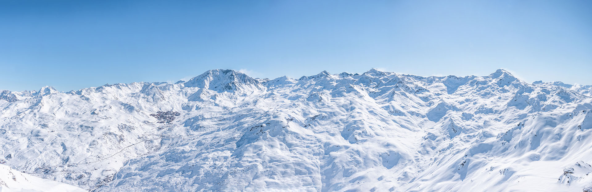
Located at an altitude of over 2300 meters, Val Thorens is the highest resort in Europe! The Val Thorens resort is part of the Belleville Valley and the largest ski area in the 3 Valleys.
Village Map The Val Thorens resort is a semi-pedestrian resort that consists of several neighborhoods:
- Les Balcons district
- Soleil district
- Grande Rue district
- Lombarde district
- Slalom district
- Plein Sud district
It's easy to get around on foot between these different neighborhoods. Parking is mandatory in winter, and to avoid the use of vehicles, free shuttles run every day in the resort from 8 am to 8 pm, departing every 20 minutes.
Ski Slope Maps Located in the heart of a vast natural cirque dominated by its 6 glaciers, the Val Thorens ski resort offers a multitude of ski routes to enjoy the sun all day.
Here are the ski slope maps for Val Thorens-Orelle and the 3 Valleys:
